The GAR Atlas, which aims to expose hidden disaster risks, has been hailed as a milestone
By Jonathan Fowler
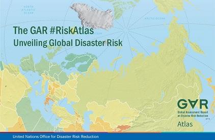
CANCUN, Mexico, 25 May 2017 – The UN Office for Disaster Risk Reduction today launched a landmark interactive atlas that exposes the hidden threats posed by natural hazards in national economies and countries’ urban centres.
The Global Assessment Report Risk Atlas (GAR Atlas), released at the 2017 Global Platform for Disaster Risk Reduction, builds on a multi-year effort by a consortium of leading scientific institutions coordinated by UNISDR, and provides a global vision of where and how disaster risk can undermine development.
It estimates the probability of future disaster losses in the built environment for five major hazards – earthquakes, tsunamis, river flooding, and tropical cyclones, plus winds and storm surge – for every country and territory in the world.
“This is a critical tool to create risk awareness at the levels we want,” said Ms. Maryam Golnaraghi, Director, Extreme Events and Climate Risk at the Geneva Association, the insurance industry’s leading international think tank.
Her comments were echoed by Mr. Robert Muir-Wood, Chief Research Officer at Risk Management Solutions.
“This is a real milestone. For the first time, you’ve got an actual atlas of disaster risk,” he said, adding that he had loved maps since he was a boy.
The GAR Atlas has been launched in online version, an application, and a limited edition print format that contains augmented reality icons that link it to its companion application, GAR for Tangible Earth.
Tangible Earth, developed by the Japan-based Earth Literacy Program, is the world’s first interactive digital globe featuring various earth processes and global data such as real-time weather, earthquake and tsunami or climate variations.
Mr. Rowan Douglas, CEO Capital Science & Policy Practice at reinsurers Willis Towers Watson, was enthusiastic about the GAR Atlas: “To create a multi-peril database – because it’s far more than an atlas – the scientific achievement is incredible.”
The GAR Atlas is based on the findings of UNISDR’s series of biennial reports on risk, which since 2009 have raised the bar for research on past, present and potential future hazard impacts.
“The idea is to pull together all the risk information that we’ve been working on in one place,” said Mr. Andrew Maskrey, who heads UNISDR’s Risk Knowledge Section and has steered its research for years.
“Risk is often invisible,” he underlined.